Machame route map on Mount Kilimanjaro
Discover the ultimate Machame route map to Mount Kilimanjaro. Navigate through each campsite and find your way to the summit with ease.
Get Your PDF Instantly

Machame Route Map
The Machame route map is a visual representation of the route, showcasing its trails, campsites, elevation changes, and notable landmarks. It provides crucial guidance for climbers, offering a detailed overview of the journey up Mount Kilimanjaro. This comprehensive guide will provide you with a detailed Machame route map, highlighting each campsite along the way. From lush rainforests to barren alpine deserts, the Machame route offers diverse landscapes and unparalleled beauty. Let’s experience this journey together and explore the wonders of Kilimanjaro.
Machame Route overview on Mount Kilimanjaro
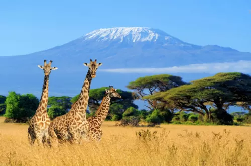
The Machame route, also known as the "Whiskey" route, is a challenging yet rewarding path to the summit of Kilimanjaro. Starting from the Machame Gate on the southwestern side of the mountain, trekkers ascend through a variety of ecosystems, including lush rainforests, moorlands, and alpine deserts. Along the way, you’ll encounter breathtaking scenery, diverse flora and fauna, and stunning panoramic views.
Machame Route Map - Campsites
1. Machame Gate (1,800 meters): The journey begins at the Machame Gate, where trekkers register and discover their adventure. Surrounded by dense rainforest, this lush environment sets the stage for the trek ahead.
2. Machame Camp (3,010 meters): After a few hours of hiking, you’ll reach Machame Camp, your first overnight stop. Nestled among the trees, this campsite offers basic amenities and stunning views of the surrounding forest.
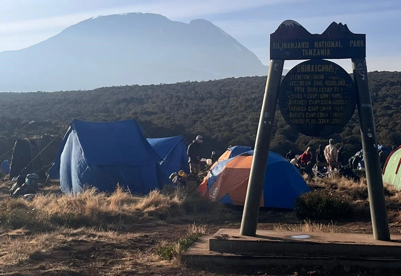
3. Shira Camp (3,845 meters): Continuing your ascent, you’ll trek through the moorlands and arrive at Shira Camp. Located on the Shira Plateau, this campsite provides expansive views of Kilimanjaro’s western slopes.
4. Barranco Camp (3,960 meters): Known as the "Garden of Eden," Barranco Camp is situated in a picturesque valley surrounded by towering cliffs. Here, you’ll enjoy stunning vistas and a well-deserved rest before tackling the Barranco Wall.
5. Karanga Camp (3,995 meters): As you ascend further, you’ll reach Karanga Camp, perched on a rocky ridge overlooking the valley below. This intermediate campsite offers breathtaking views of the surrounding landscape.
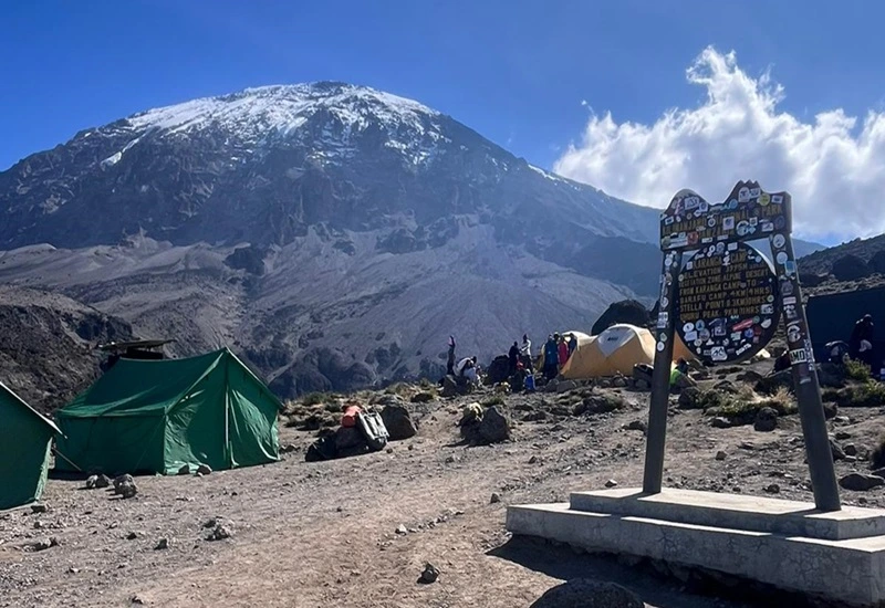
6. Barafu Camp (4,673 meters): The final push to the summit begins from Barafu Camp, the highest campsite on the Machame route. Here, you’ll prepare for the challenging ascent to Uhuru Peak under the starlit sky.
Navigating the Machame Route Map
The Machame route map provides a visual representation of the trekking route, including key landmarks and elevation gains. By following the map, trekkers can navigate each stage of the journey with confidence and clarity. From the lush rainforests of the lower slopes to the rugged terrain of the summit approach, the Machame route map guides you every step of the way.
Machame route Map: Conclusion
Exploring the Machame route to Kilimanjaro is a once-in-a-lifetime adventure that offers unforgettable experiences and breathtaking vistas. With the help of our detailed Machame route map, you’ll navigate the path to the summit with ease and confidence. So lace up your boots, pack your gear, and prepare for the journey of a lifetime on the majestic slopes of Mount Kilimanjaro.
Machame route hike: Inquiry Form
Required fields are marked *
Machame route hike - Related Articles


Ready to organize an unforgettable African adventure?
Grace is available to assist you and can provide a free quote with no obligation.